The Haryana government has notified the development plan-2031 for NCR city Faridabad for a projected population of over 39.55 lakhs.
The development plan has been framed, keeping in view the overall town density of 115 persons per hectares, to accommodate 39.55 lakh people by 2031 within the urbanisable area of 34,368 hectares, according to an official release here today.
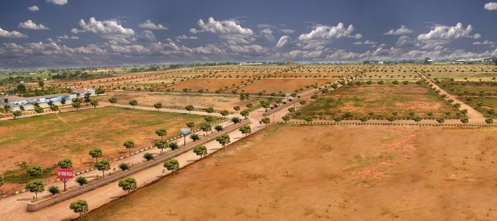
The plan has proposals for urbanisation of areas from Delhi border in the north up to foothills of Aravalli ranges in the west, beyond Gurugram-Agra Canal in the east and up to the revenue estate of village Jharsently in south.
The city cannot be expanded towards its north due to the constraint of Haryana-Delhi border. Therefore, the additional area beyond east of Agra Canal, south and southwest of the town is being proposed for the development of additional urbanisable area for additional population, it added.
An area of 14,558 hectares had been proposed for residential purpose on the basis of average residential density of 271 persons per hectare.
Every residential sector would be developed to the sector density indicated in the drawing with 20 per cent variation on either side and in addition to it, the density as prescribed in the New Integrated Licensing Policy, Affordable Group Housing Policy, Transit Oriented Development Policy.
Twenty per cent group housing component policy would also be applicable in a residential sector. Three sectors bearing nos. 119, 143 and 146, adjoining to the proposed industrial sectors had been proposed with a density of 600 persons per hectare (PPH), wherein only group housing projects would be permitted.
Eight pockets of 25 hectares each have also been reserved for high density development of 1,125 PPH in sectors 99, 112, 119, 122, 139, 143, 146 and 156, paving the way for construction of smaller flats and for providing housing to low and medium income groups, the release said.
An area of 2,078 hectares had been proposed for commercial purpose. An area of 6,179 hectares has been proposed for industrial development.
The existing gas-based thermal power plant has already been accommodated in the Development Plan as special zone.
For smooth channelisation of inter-city traffic, the circulation pattern has been proposed in the development plan. Delhi-Mathura Road (National Highway No. 44), would continue to be the central axis for inter-state traffic to Delhi and Uttar Pradesh.
To relieve this road from the external traffic, a 60-metre wide bypass road has been constructed by the Haryana Urban Development Authority (HUDA), as per the provisions of published Final Development Plan-2011.
A 100-metre wide road, known as Eastern Peripheral Expressway, has been proposed along with 100-metre wide green belt on both sides of the city in the Development Plan.
Metro Rail had also been proposed along Delhi-Mathura Road up to Ballabgarh which is currently being implemented by Delhi Metro Rail Corporation.
Source – Business Standard

